


The Graduate School (SPs), Universitas Sumatera Utara (USU), successfully organized the Drone Mapping Training. The training was held for 3 (three) days, equivalent to 18 Learning Hours (JP), from October 2 to 4, 2026, at the SPs USU premises.
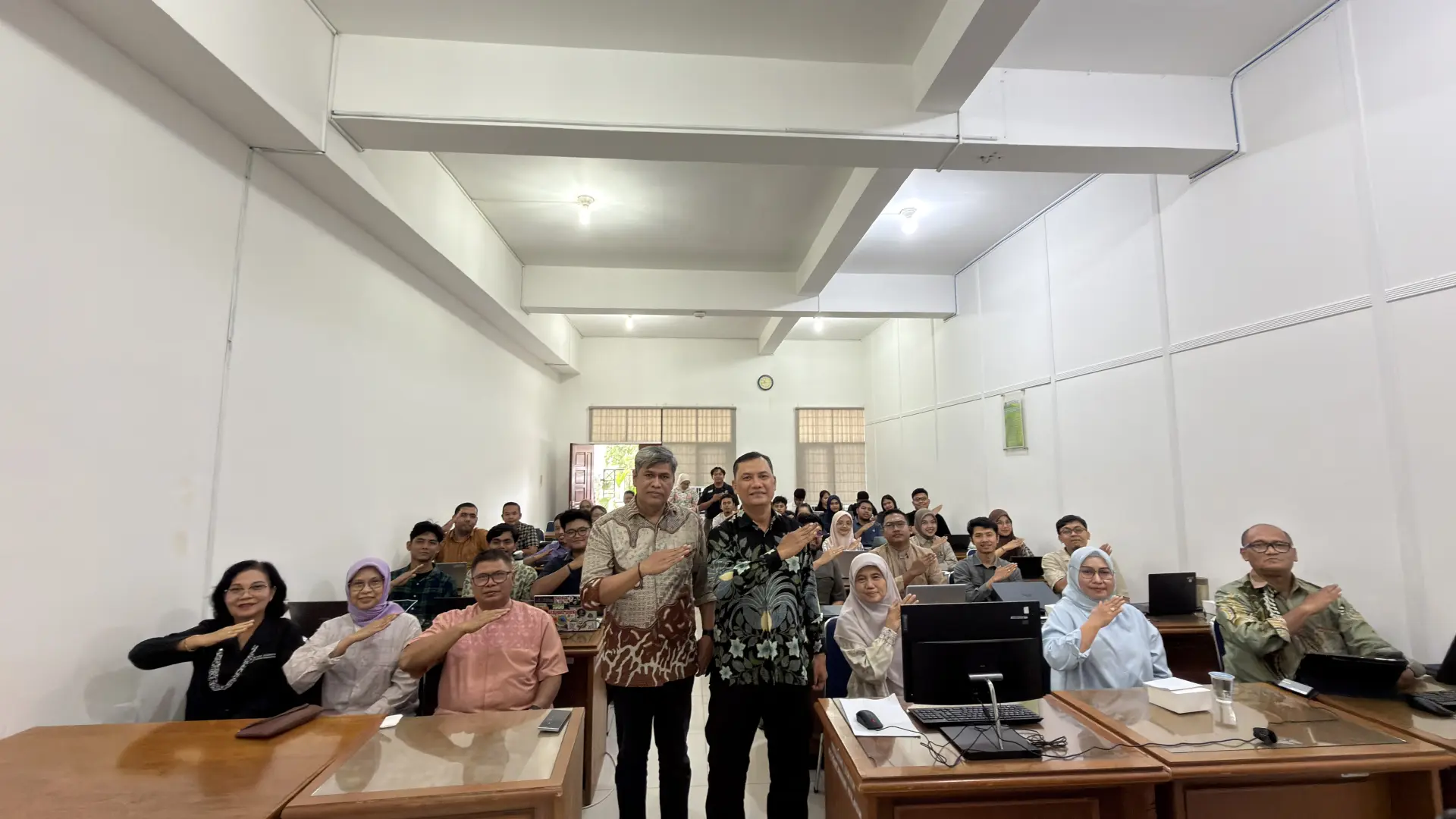
The first day of the activity began at 14.00 to 17.00 WIB. The event was hosted by MC Annisa Widya and officially opened by the Director of the Graduate School USU, Prof. Dr. Ir. Evawany Yunita Aritonang, M.Si. In her remarks, Prof. Evawany emphasized that drone-based mapping is a very important competency.
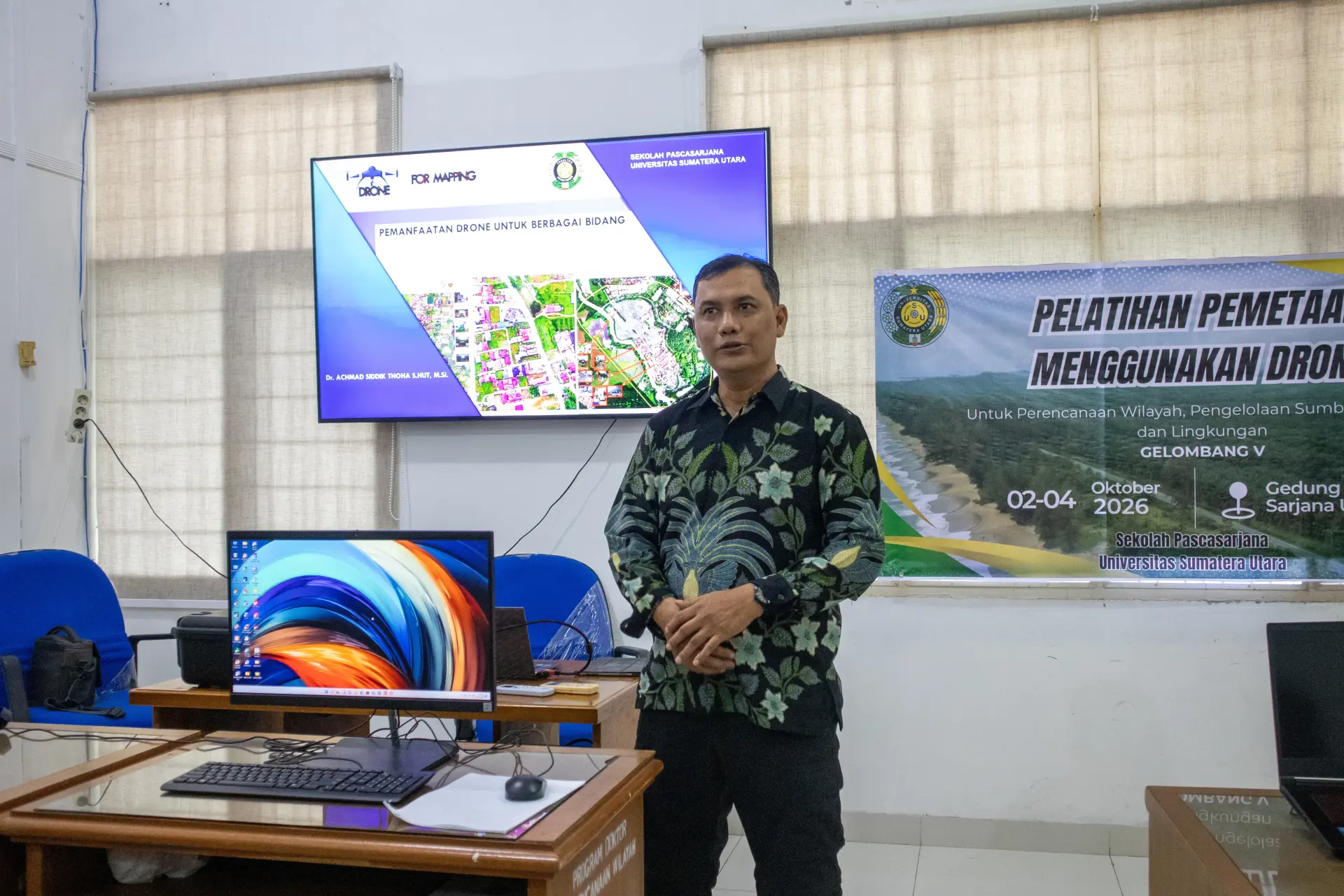
The agenda continued with a presentation on the use of drones and an introduction to the equipment by the training instructor, Dr. Achmad Siddik Thoha, S.Hut., M.Si. During this session, participants were also guided in installing mapping applications and learning how to create flight missions (flight planning).
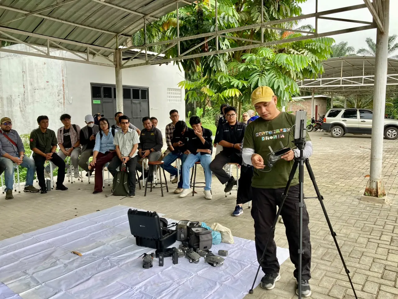
The following day, October 3, 2026, the activity continued with a field trip to USU Campus 2 in Kwala Bekala. During this session, participants conducted drone mapping practices directly in the field. With full guidance from the instructor, all participants had the valuable opportunity to operate and fly drones to record spatial data of the area.
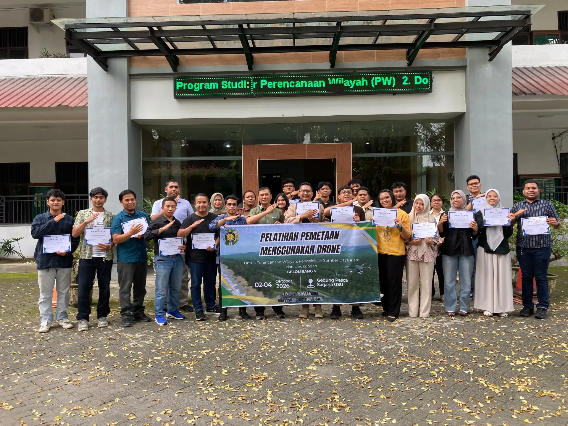
On the final day, October 4, 2026, the activity focused on indoor sessions. Participants practiced processing data from drone aerial photographs to produce orthomosaics and practiced creating map layouts. The training series was then officially concluded with the presentation of training certificates to 36 participants who had successfully completed all sessions.
Interestingly, the activity was attended not only by students but also by senior academics from Universitas Sumatera Utara. Among the participants were the Head of the Master's Program in Regional and Rural Development Planning (PWD) and Head of the Doctoral Program in Regional Planning, Dr. Lindawati, S.P., M.Si., together with Prof. Dr. Ir. Yaya Hasanah, M.Si. The participation of these academics served as an inspiration, demonstrating their enthusiasm for continuing to learn and expand their knowledge of applied technology, despite both already serving as lecturers and holding positions at USU.
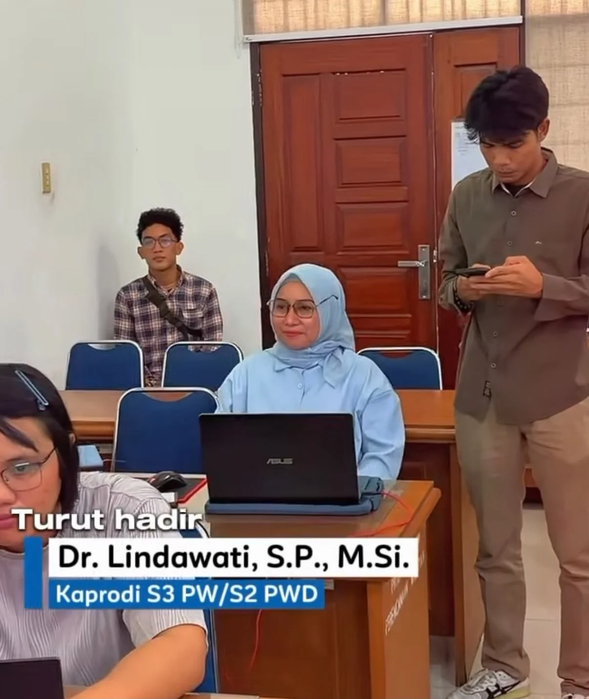
Dr. Lindawati also expressed her appreciation and explained the significant benefits of the training.
“This drone mapping training is very beneficial in helping students of the Master's Program in PWD and the Doctoral Program in Regional Planning develop plans and mapping designs for locations to be developed. In agriculture, for example, it can be used to determine suitable areas for developing leading commodities. For disaster mitigation, we can map communities located in disaster-affected areas so that they can be relocated to safer places,” explained Dr. Lindawati.
Regarding plans to apply the knowledge in the future, she added that this expertise is highly crucial on a broader scale. “Mapping knowledge is also highly relevant for mapping tourism locations and, on a wider scale, is greatly needed for spatial planning so that it can function according to its intended purpose,” she explained.
Through this training, SPs USU hopes that the knowledge and technical skills acquired will benefit all participants, institutions, and various parties who may require mapping expertise in the future.