
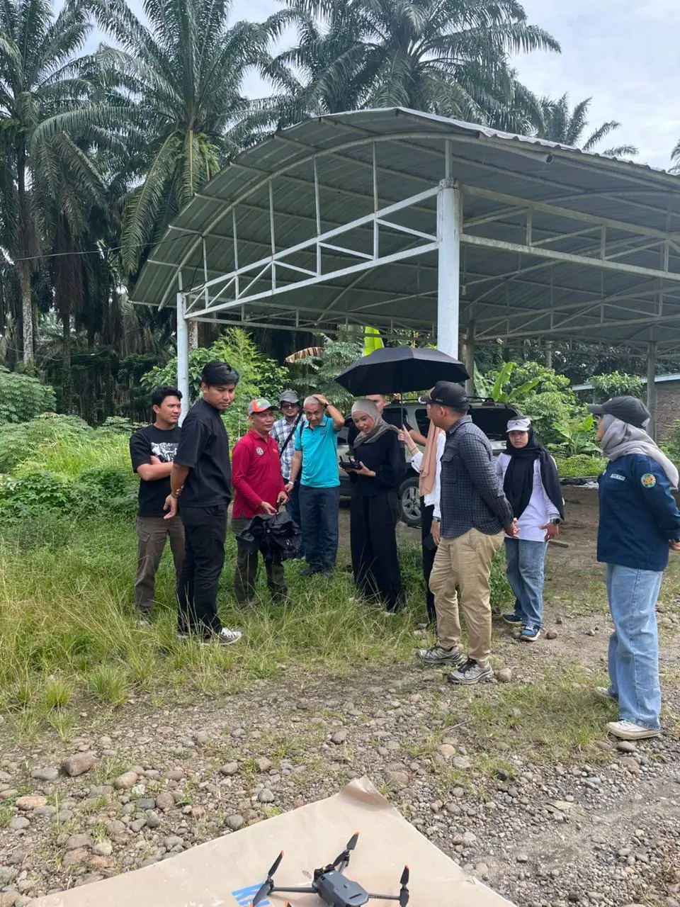
Twenty-nine participants enthusiastically held remote controls while observing drones flying over the USU Kwala Bekala Campus field in Deli Serdang. The participants, consisting of undergraduate, master’s, doctoral students, and the general public, took part in the Onsite Training “Mapping Using Drone” Batch IV. This event was organized by the Master’s Program in Regional and Rural Development Planning (S2 PWD) and the Doctoral Program in Regional Planning (S3 PW), School of Postgraduate Studies, Universitas Sumatera Utara.
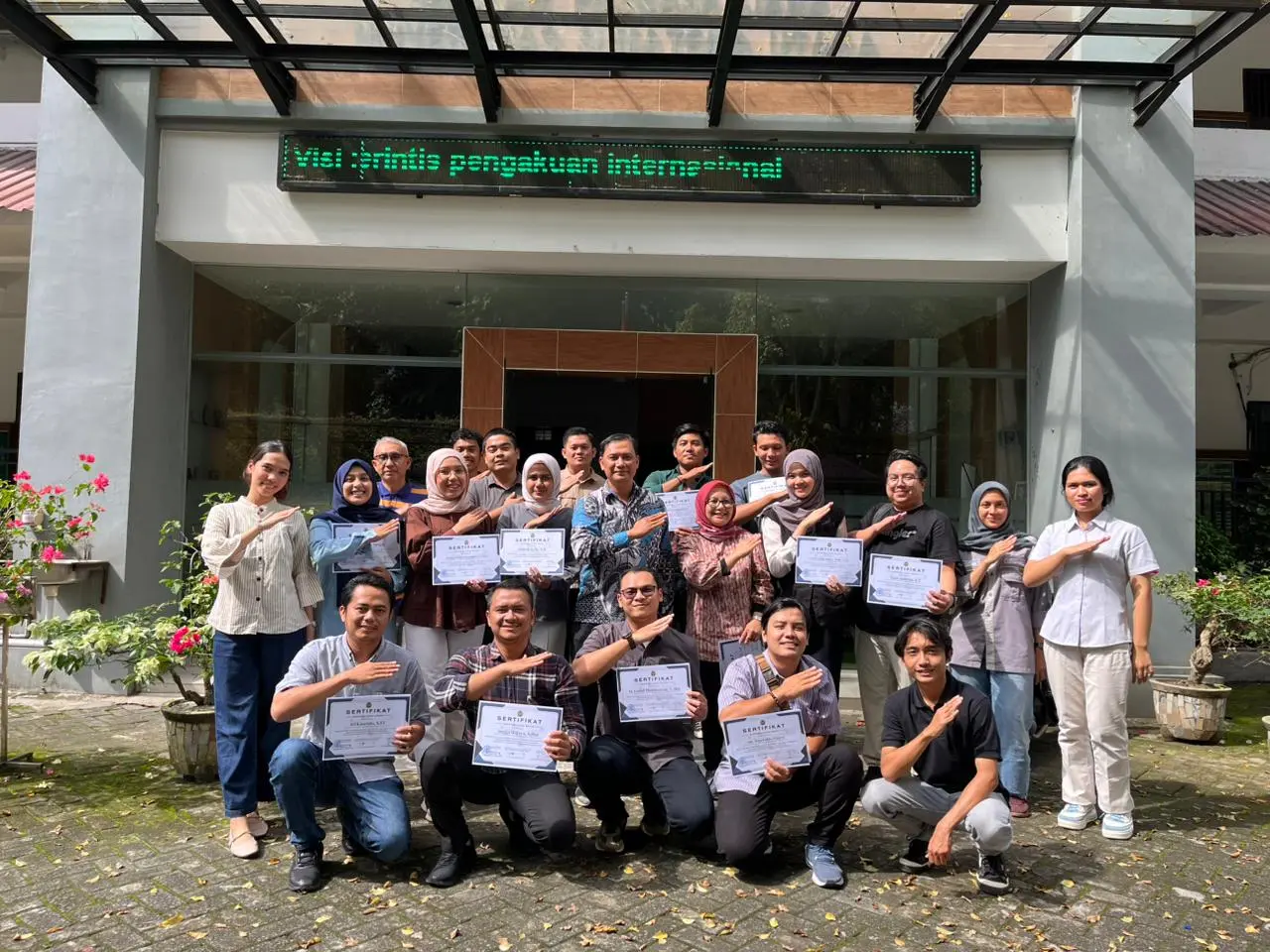
The three-day training, held from October 17–19, 2025, took place at the S2 PWD Program, USU Padang Bulan Campus, and the Faculty of Forestry Campus, USU Kwala Bekala, Deli Serdang. Prof. Ir. Satia Negara Lubis, MEc, officially opened the event, expressing hope that the training would enhance the competencies of students and the public in mapping applications across various fields. This training, held annually by the S2 PWD and S3 PW programs, marks its fourth batch in 2025, specifically targeting undergraduate, master’s, and doctoral students to equip them with practical mapping skills.
Over the three days, participants received materials on Drone Applications in Various Fields, Introduction to Drone Components, Flight Mission Design, Field Drone Mapping Practice, Orthomosaic Processing, DEM Processing, and Map Layout Design. Participants were tasked with producing aerial photo maps that met the standards set by the instructors, and those who completed the tasks received a certificate of completion.
Dr. Achmad Siddik Thoha, S.Hut., M.Si., as the training instructor, stated that drone mapping competency has become a highly demanded skill among graduates, particularly in the field of development planning where mapping is essential. Through this training, students can apply the knowledge gained to their regional development research topics, while for the general public, the training serves to enhance spatial competence and open broader career opportunities in the workforce.