


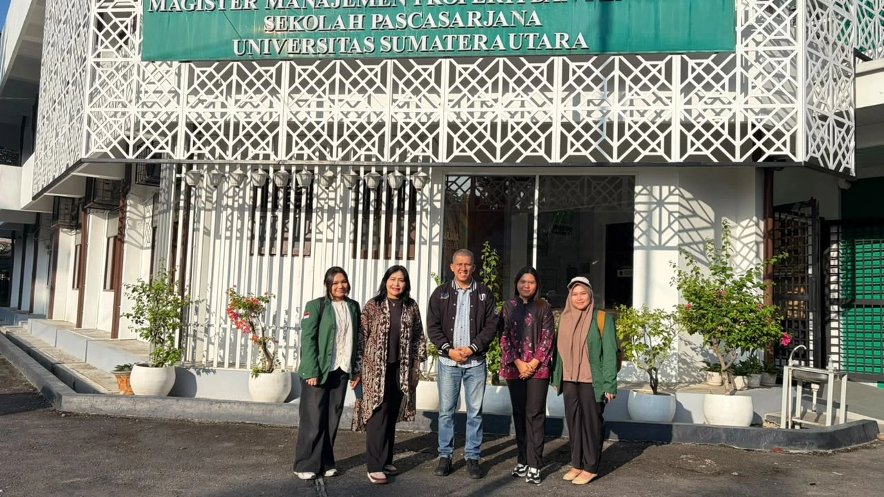
Langkat, 20 July 2026 – Universitas Sumatera Utara (USU), Universitas Terbuka (UT), and Universitas Andalas (UNAND) conducted a field survey to identify the geographic coordinates of public assets as part of the development of a digital public asset mapping system in Simpang Kutabuluh Village, Langkat Regency, North Sumatra. The activity forms part of the Indonesian Collaborative Community Service Program (Program Pengabdian Masyarakat Kolaborasi Indonesia/PMKI), which involves 24 Legal Entity State Universities (PTNBH) as a collaborative initiative to support the development of resilient, adaptive, and sustainable rural communities.
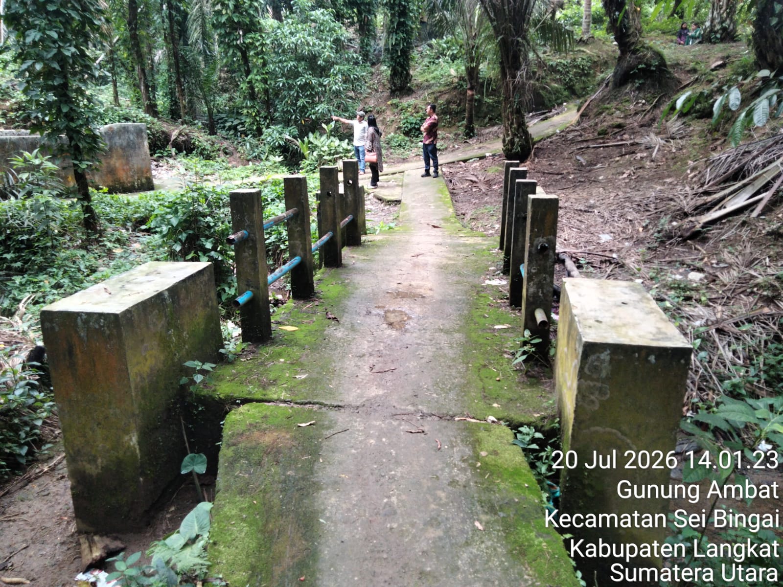
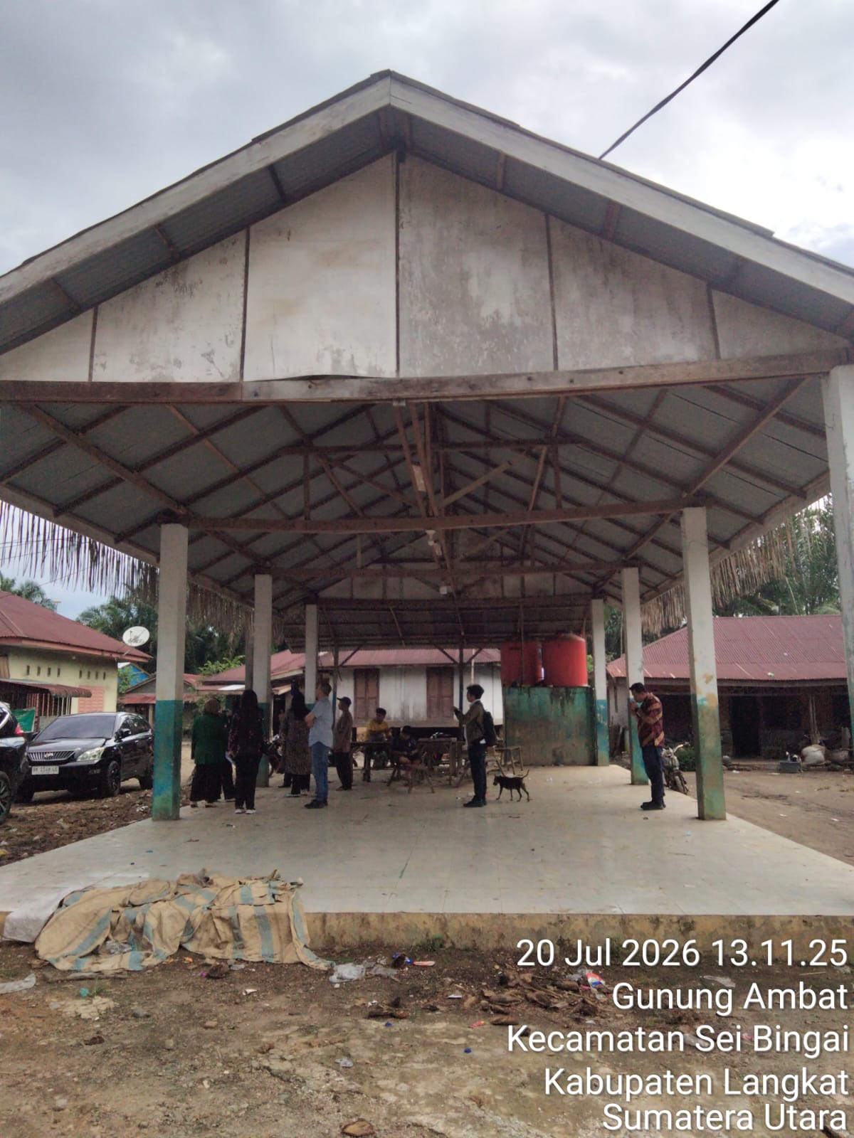
The survey involved geotagging strategic public assets using Global Positioning System (GPS) devices and digital mapping technology. The assets surveyed included village roads, bridges, educational facilities, healthcare facilities, clean water infrastructure, places of worship, agricultural areas, village government offices, and other public facilities that play essential roles in delivering services to the community.
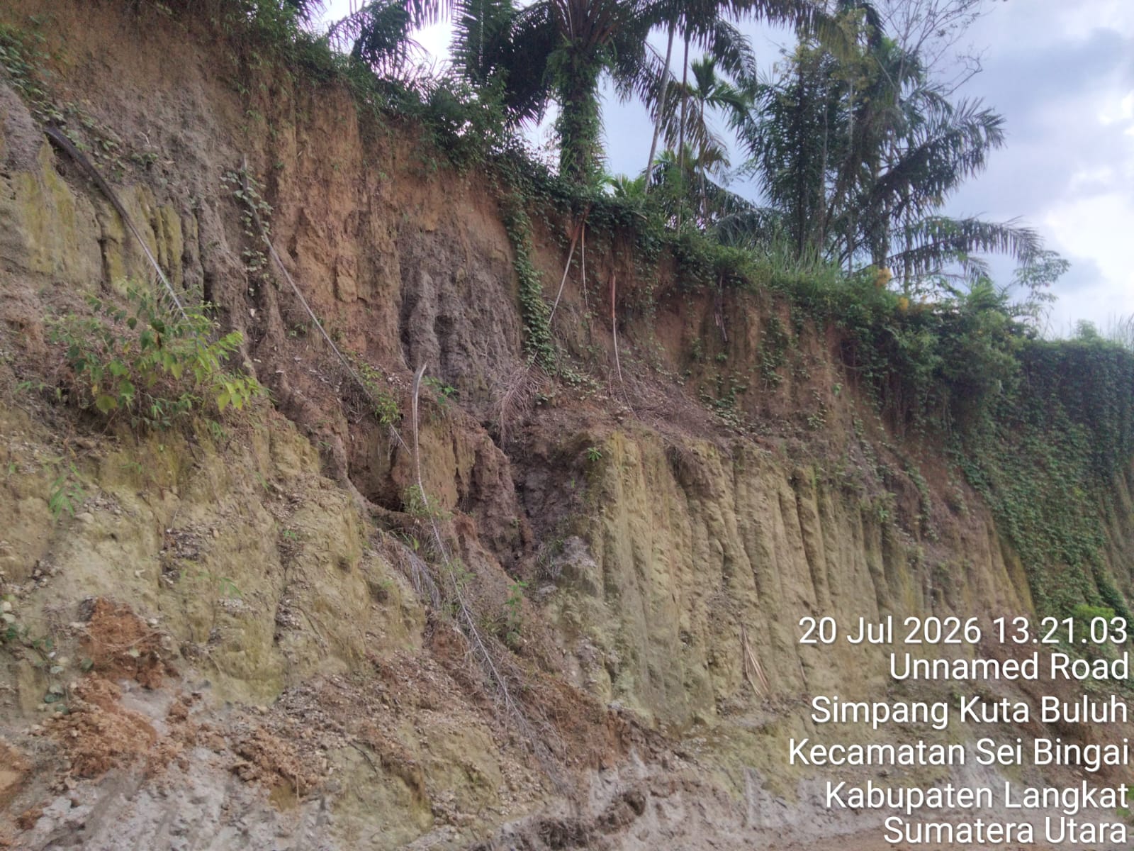
The spatial data collected will be integrated into a digital public asset information system, providing an accurate database to support village development planning, asset management, disaster risk reduction, and evidence-based decision-making. Through this digital mapping initiative, the village government is expected to gain a more comprehensive understanding of the location, condition, vulnerability, and maintenance priorities of each public asset.
The project team consists of Prof. Dr. Elisabet Siahaan, S.E., M.Ec., Head of the Master's Program in Property Management and Valuation (MMPP) at the USU Graduate School and Director of the Center of Excellence in Science and Technology (PUI) Smart Innovation Hub for Asset Management and System Intelligence, Dr. Lasma Melinda Siahaan, S.E., M.Si., lecturer at the Faculty of Economics and Business, Universitas Sumatera Utara, and researcher at the same Center of Excellence, Yasir Riady, S.S., M.Hum. from Universitas Terbuka, and Prof. Ir. Taufika Ophiyandri, S.T., M.Sc., Ph.D. from Universitas Andalas.
According to Prof. Dr. Elisabet Siahaan, digital public asset mapping is a strategic step toward establishing a modern, transparent, and risk-responsive village asset management system. With accurate spatial data, village governments can improve development planning, enhance the efficiency of asset management, and strengthen preparedness for potential disasters.
Dr. Lasma Melinda Siahaan added that the digitalization of public assets not only creates a comprehensive database but also serves as an essential tool for strengthening accountable village governance. Information regarding the location, condition, function, and risk level of each asset can support the prioritization of development, maintenance, and long-term protection of public assets.
Throughout the survey, the team worked directly with village government officials to verify the existence of public assets and document their physical conditions. This participatory approach enabled local authorities to actively contribute to the asset inventory process, ensuring that the resulting data accurately reflects on-the-ground conditions.
The initiative also supports the achievement of several Sustainable Development Goals (SDGs), particularly SDG 1: No Poverty by protecting productive assets that sustain local economic activities; SDG 2: Zero Hunger through the mapping of infrastructure supporting agriculture and food security; SDG 3: Good Health and Well-being by identifying healthcare facilities and clean water infrastructure; SDG 4: Quality Education through the documentation of educational facilities to support continued access to learning; and SDG 17: Partnerships for the Goals by fostering collaboration among universities, village governments, and local communities in developing a technology-based and sustainable public asset management system.
Through this initiative, Simpang Kutabuluh Village is expected to establish an accurate digital public asset database as a foundation for becoming a smart village, while strengthening development planning, disaster risk reduction, and more effective public asset management. The collaboration among USU, UT, and UNAND demonstrates the tangible contribution of higher education institutions in delivering innovations that directly benefit communities and support inclusive, resilient, and sustainable rural development.